Log in
All resources
Create a design
34,645 Free Images of 1650 Maps
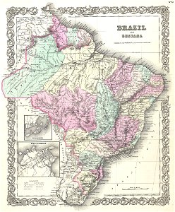
maps by joseph hutchins colton
1855 maps
maps in the library of congress
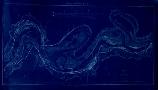
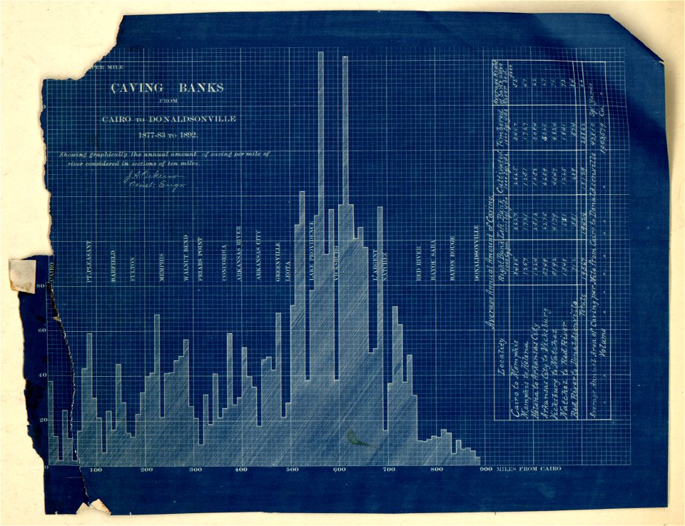
map of the mississippi river - from cairo to donaldsonville
old maps of the balkans
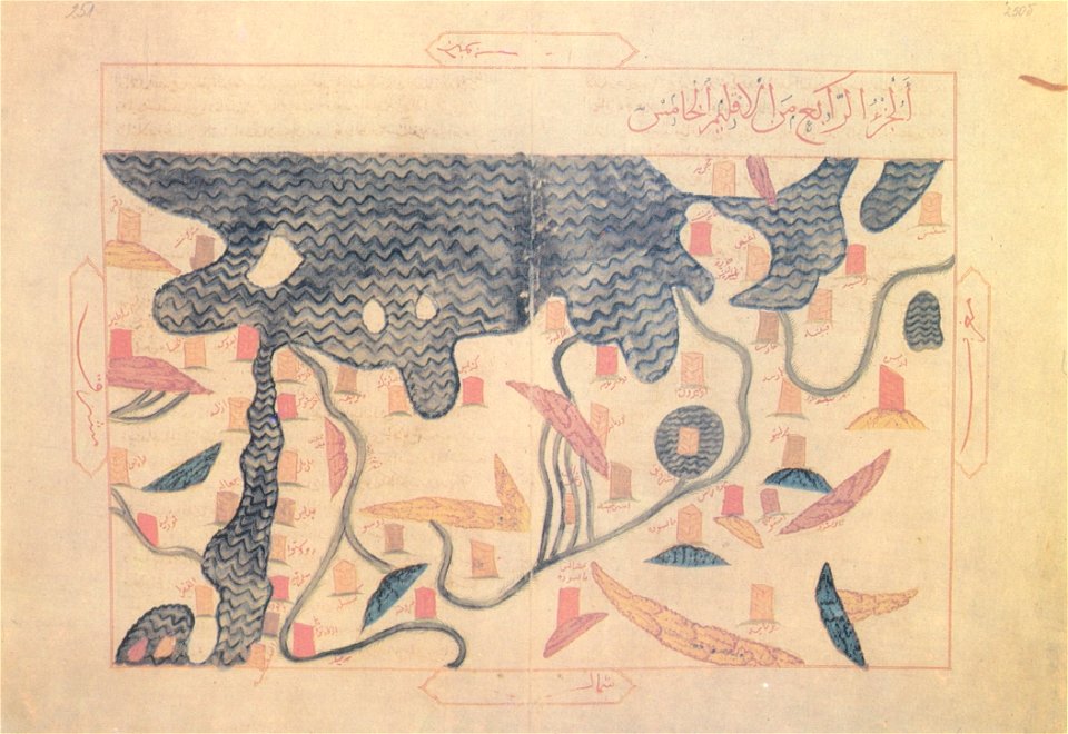
arabic-language maps
al-idrisi maps
a map of the british empire in america with the french and spanish settlements adjacent thereto
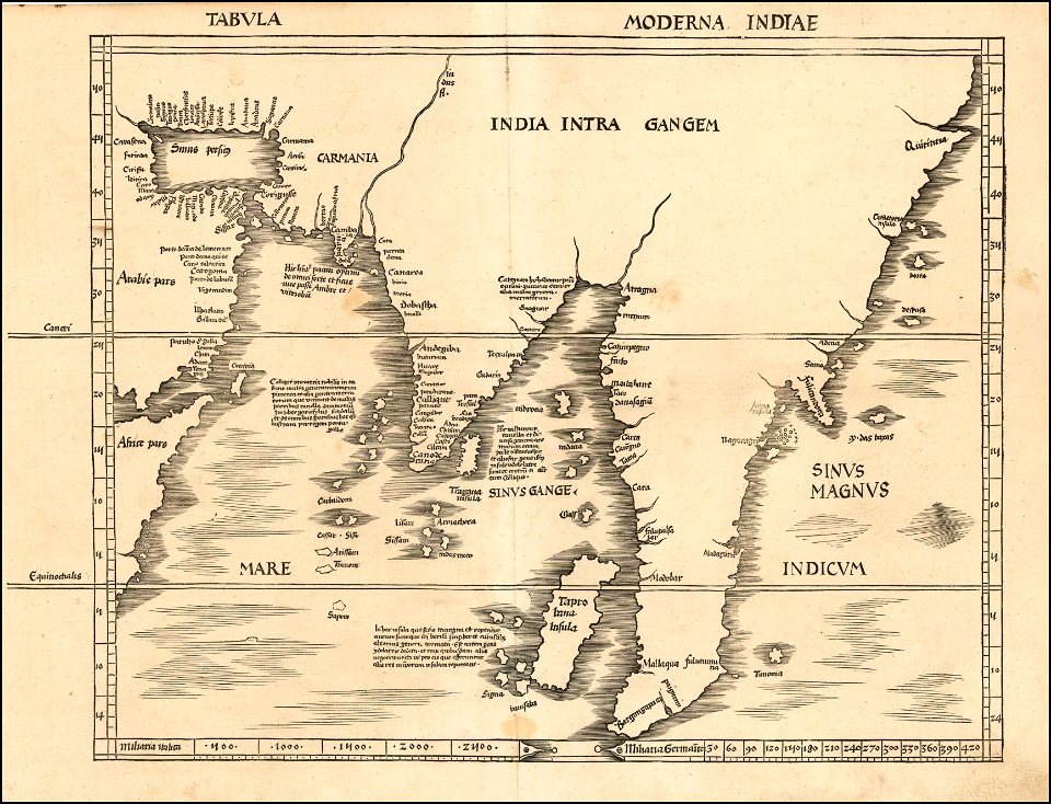
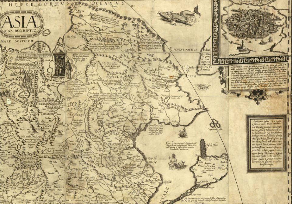
old maps of asia
1857 maps
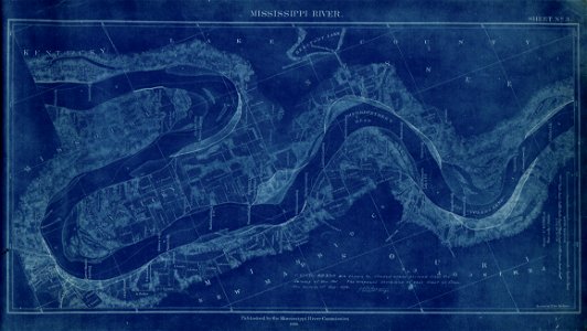
map of the mississippi river - from cairo to donaldsonville
maps in the library of congress
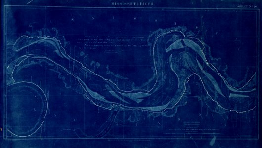
map of the mississippi river - from cairo to donaldsonville
maps in the library of congress
map of the mississippi river - from cairo to donaldsonville
maps in the library of congress
map of the mississippi river - from cairo to donaldsonville
maps in the library of congress
map of the mississippi river - from cairo to donaldsonville
maps in the library of congress
map of the mississippi river - from cairo to donaldsonville
maps in the library of congress
map of the mississippi river - from cairo to donaldsonville
maps in the library of congress
map of the mississippi river - from cairo to donaldsonville
maps in the library of congress
map of the mississippi river - from cairo to donaldsonville
maps in the library of congress
map of the mississippi river - from cairo to donaldsonville
maps in the library of congress
images from bristol past and present (1882)
millerd's map of bristol
media in the houghton library
harvard university
old maps of asia
1855 maps
old maps of asia
1855 maps
old maps of maine
1855 maps
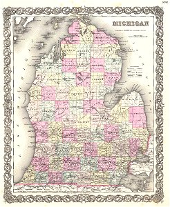
old maps of michigan
1855 maps
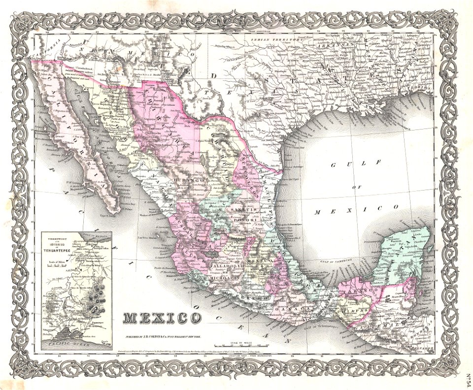
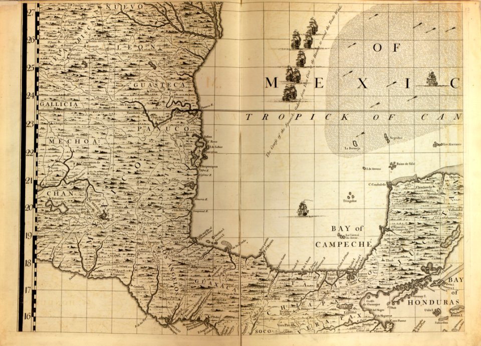
old maps of mexico
1855 maps
old maps of texas
1855 maps
old maps of switzerland
1855 maps
old maps of vermont
1855 maps
old maps of asia
1855 maps
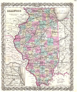
old maps of illinois
1855 maps
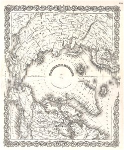
maps of north pole
1855 maps
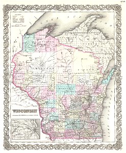
old maps of wisconsin
1855 maps
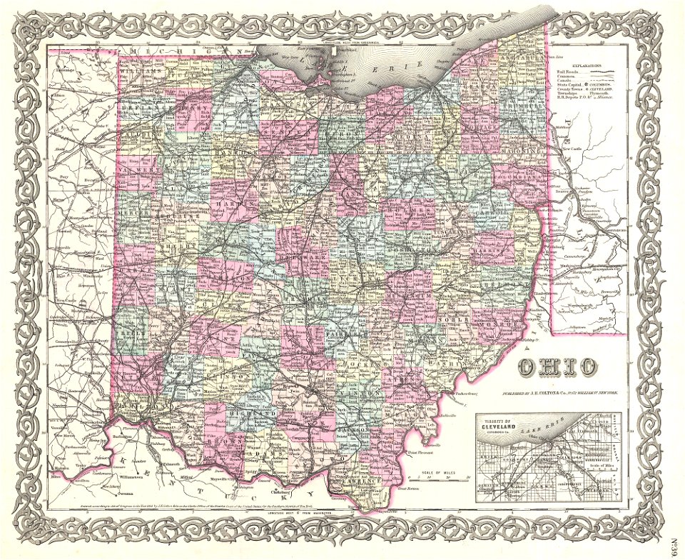
old maps of ohio
1855 maps
maps by joseph hutchins colton
1855 maps
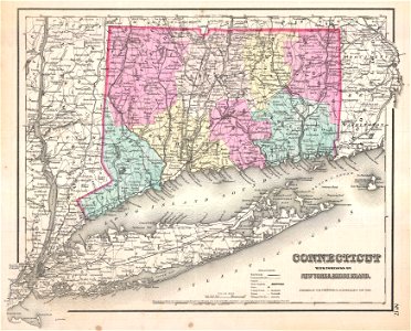
old maps of connecticut
1857 maps
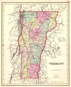
old maps of vermont
1857 maps
maps of new england
1857 maps
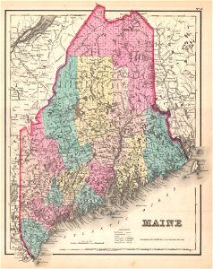
old maps of maine
1857 maps
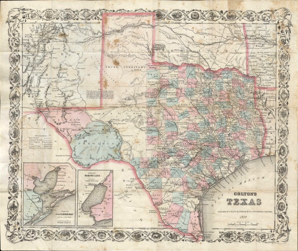
old maps of texas
1870 maps
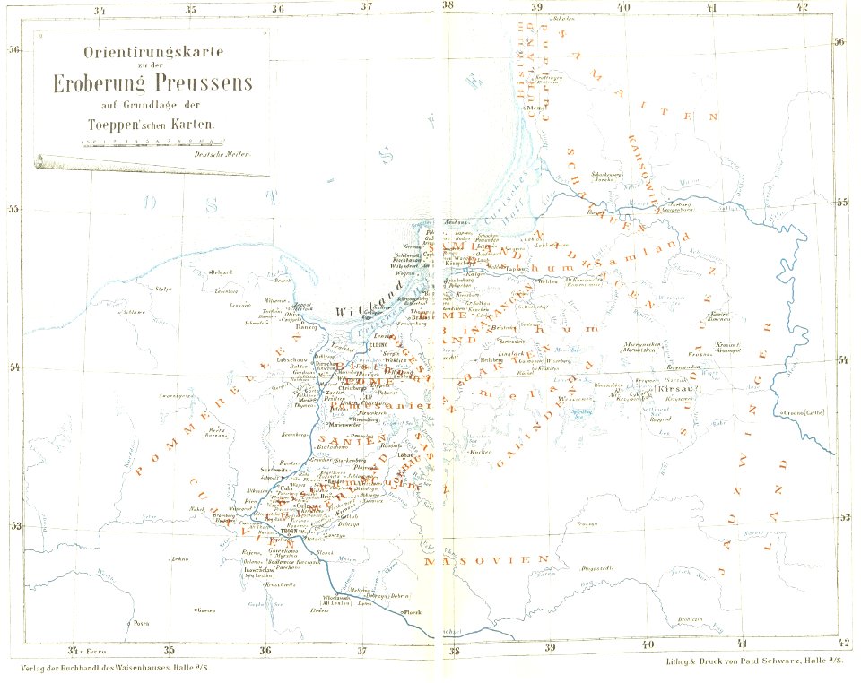
maps of prussia
1872 maps
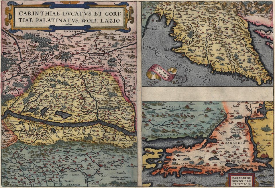
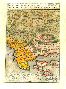
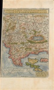
16th-century maps of slovenia
maps by wolfgang lazius
maps with cartouches
braun & hogenberg
maps by martin waldseemüller
1510s maps of the world
maps by martin waldseemüller
1513 maps
maps by martin waldseemüller
1513 maps
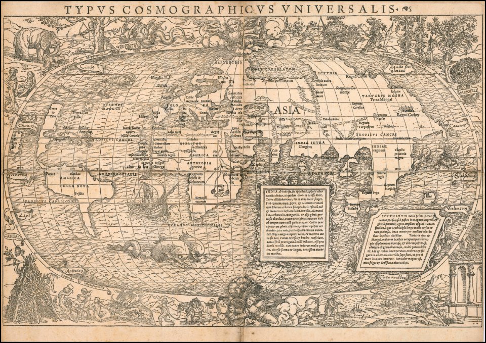
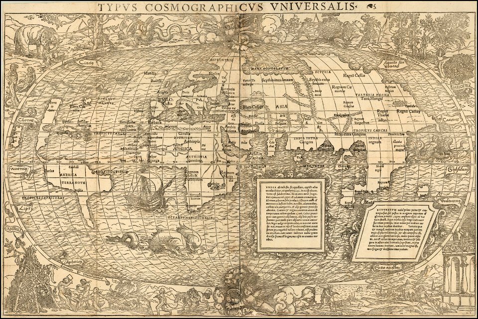
maps by sebastian münster
1530s maps of the world
maps by sebastian münster
1530s maps of the world
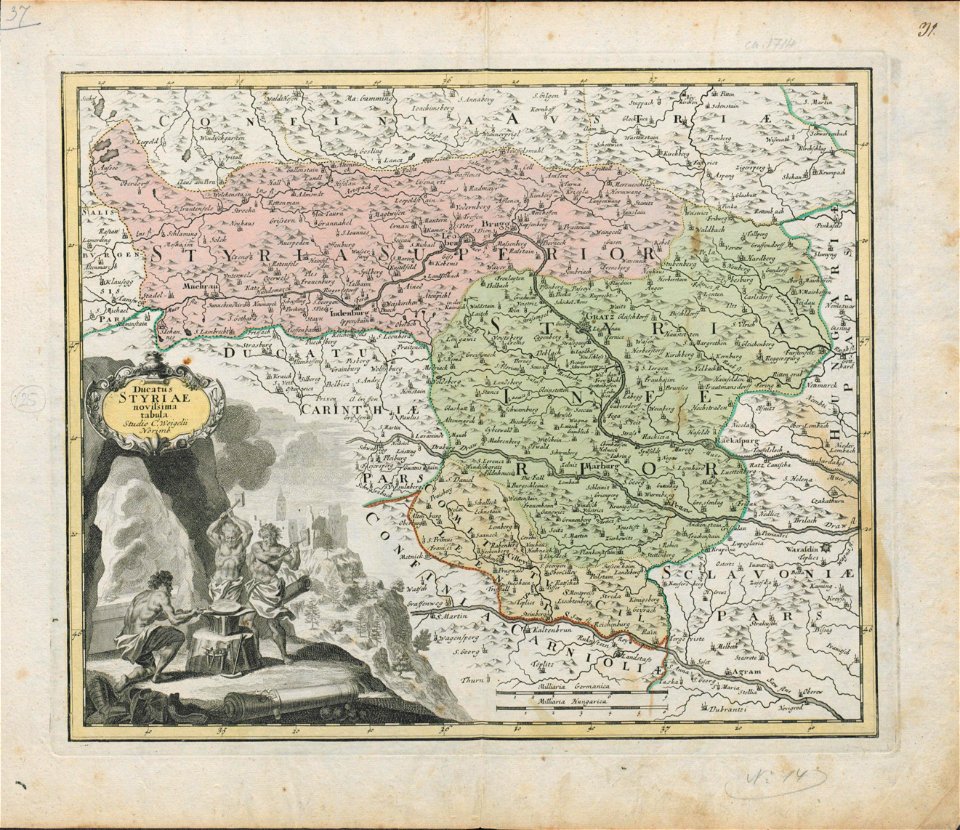
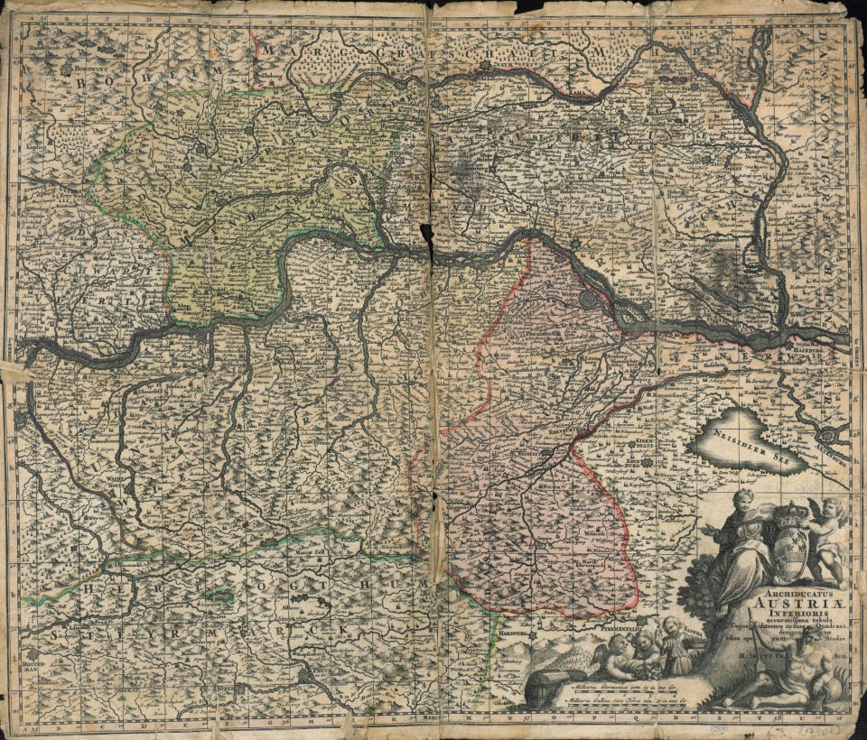
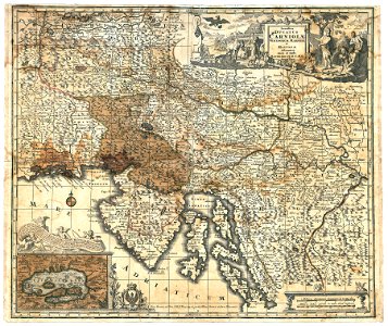
18th-century maps of slovenia
maps by christoph weigel
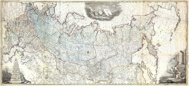
old maps of the russian empire
latin-language maps
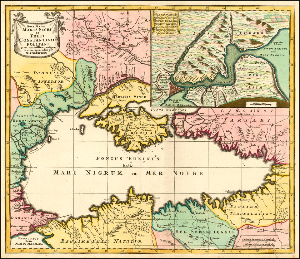
maps by matthäus seutter
1730 maps
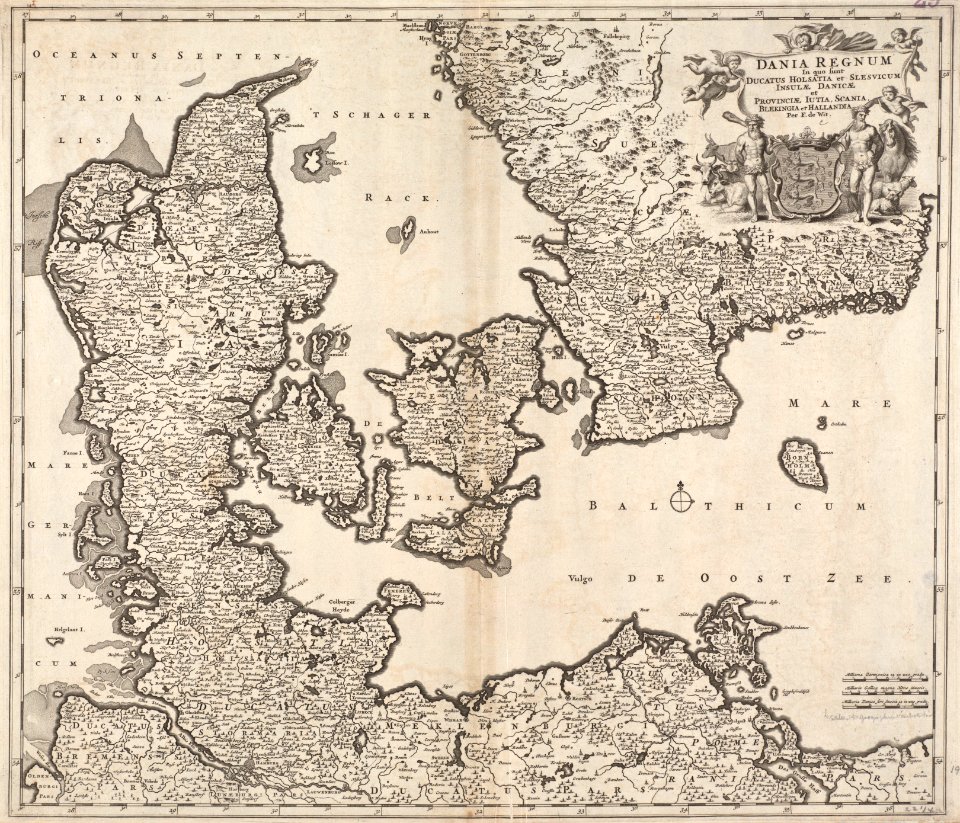
maps by frederick de wit
1680s maps of denmark
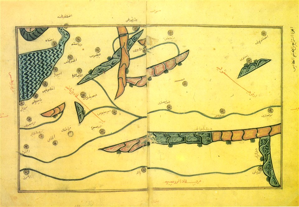
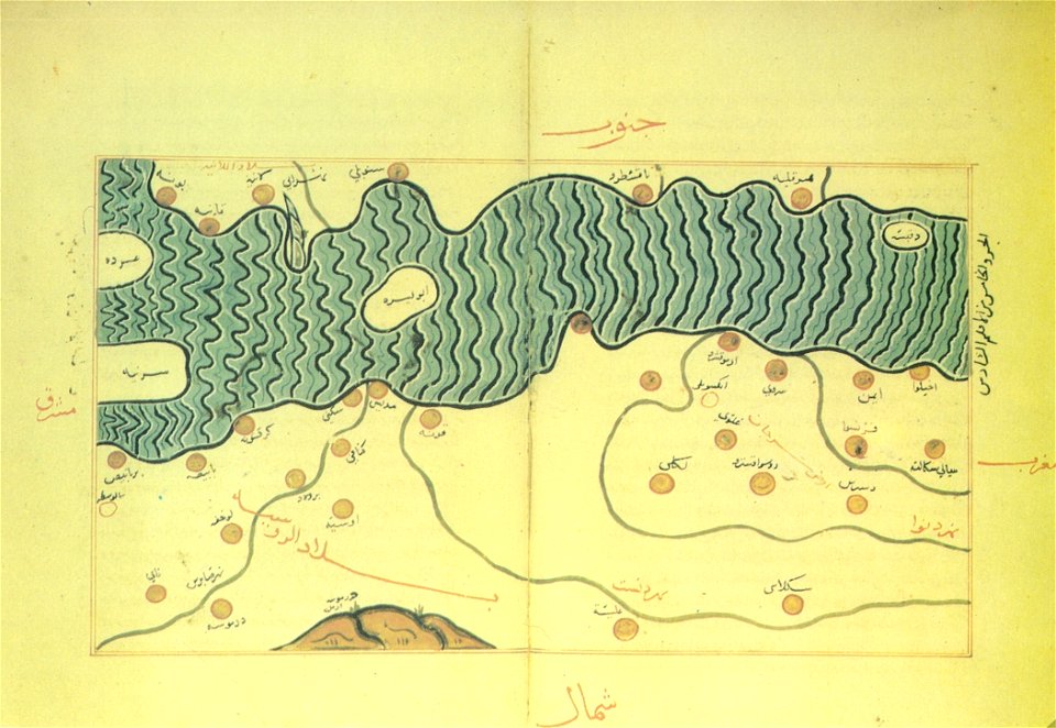
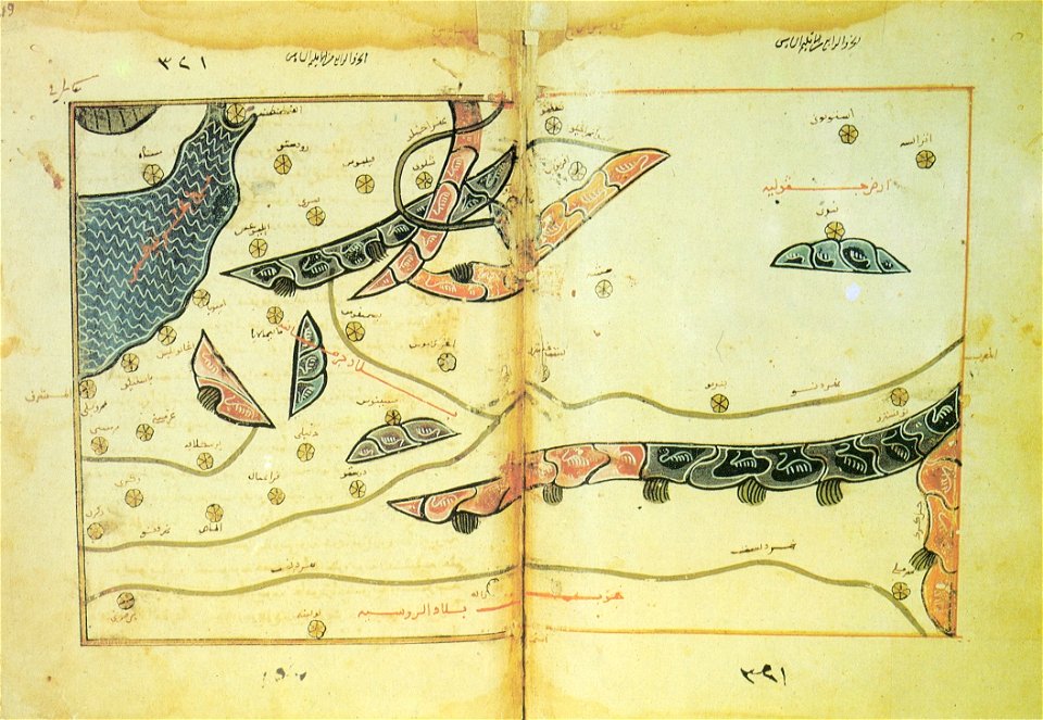
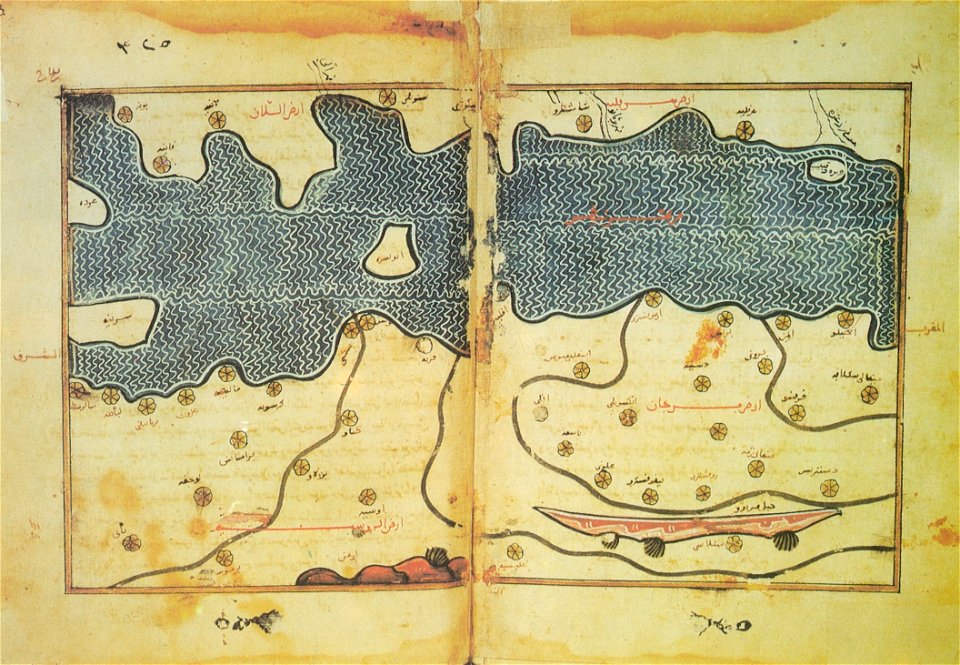
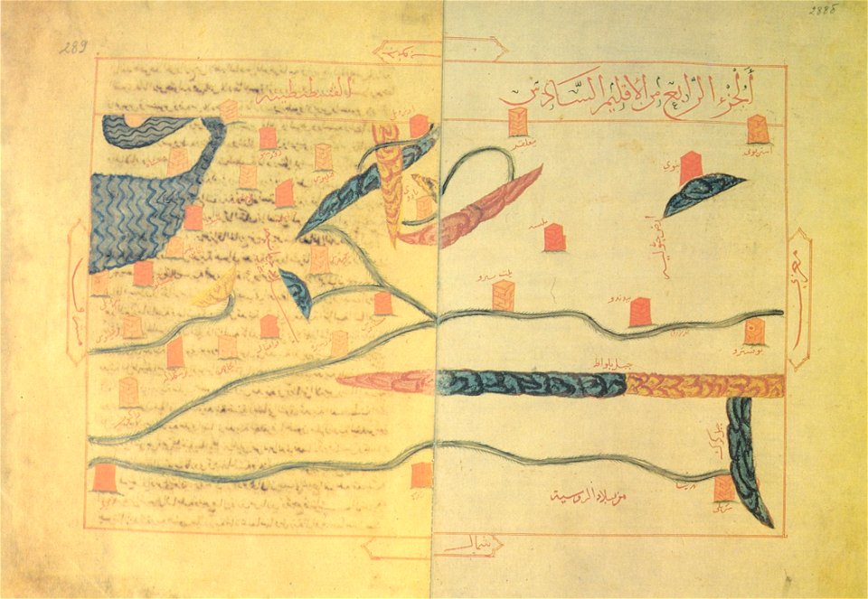
old maps of the balkans
arabic-language maps
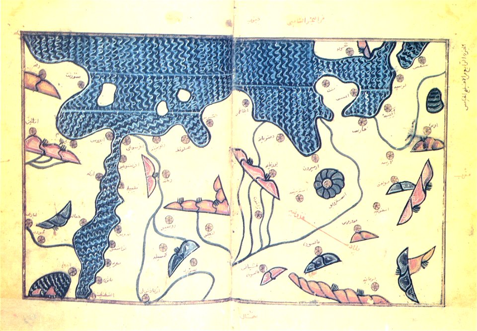
old maps of the balkans
arabic-language maps
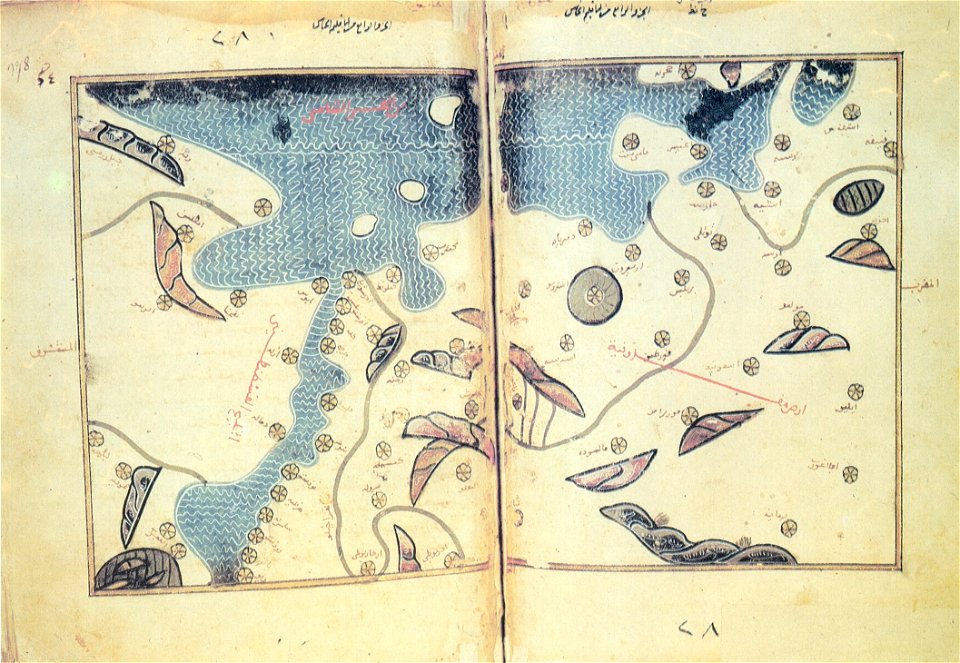
old maps of the balkans
arabic-language maps
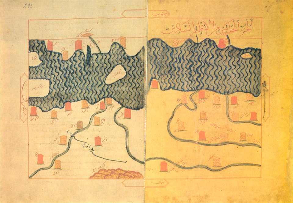
old maps of the balkans
arabic-language maps
old maps of the balkans
arabic-language maps
old maps of the balkans
arabic-language maps
old maps of the balkans
arabic-language maps
16th-century maps of slovenia
old maps of croatia
old maps of the balkans
arabic-language maps
old maps of the balkans
arabic-language maps
maps by matthäus seutter
1732 maps
16th-century maps of slovenia
maps by wolfgang lazius
16th-century maps of slovenia
maps by wolfgang lazius
latin-language maps
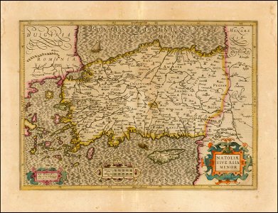
old maps of turkey
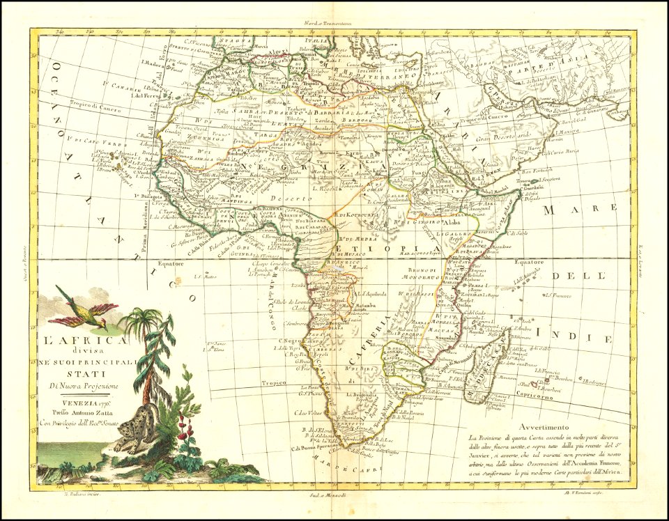
italian-language maps
maps by antonio zatta
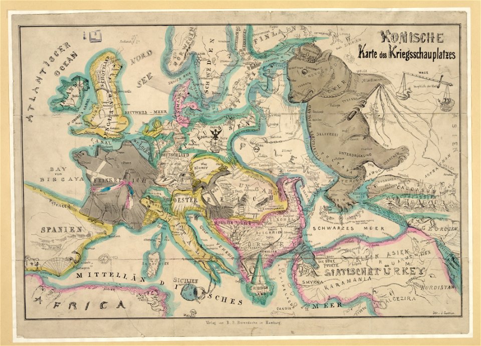
19th-century satirical maps
german-language maps
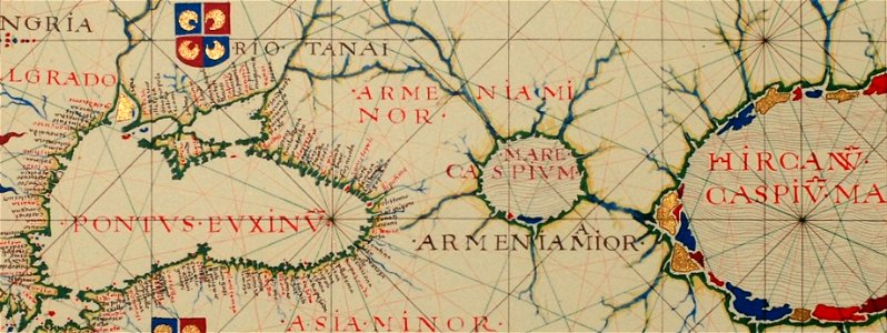
16th-century maps of the black sea
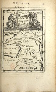
16th-century maps of georgia
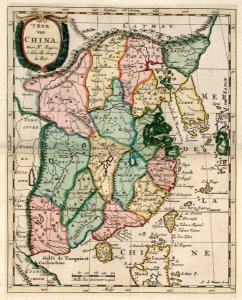
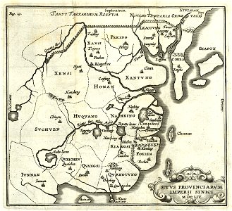
china in the 1700s
old maps of taiwan
17th-century maps of china
old maps of korea
19th-century maps of the caucasus
old maps of the russian empire
a map of the british empire in america with the french and spanish settlements adjacent thereto
maps in the library of congress
a map of the british empire in america with the french and spanish settlements adjacent thereto
maps in the library of congress
maps in the library of congress
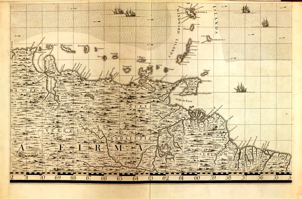
18th-century maps of barbados
maps in the library of congress
18th-century maps of barbados
maps in the library of congress
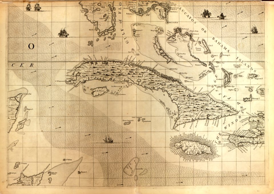
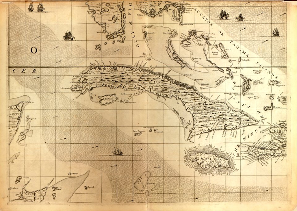
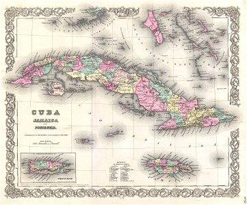
18th-century maps of cuba
maps in the library of congress
18th-century maps of cuba
maps with figures
frans hogenberg
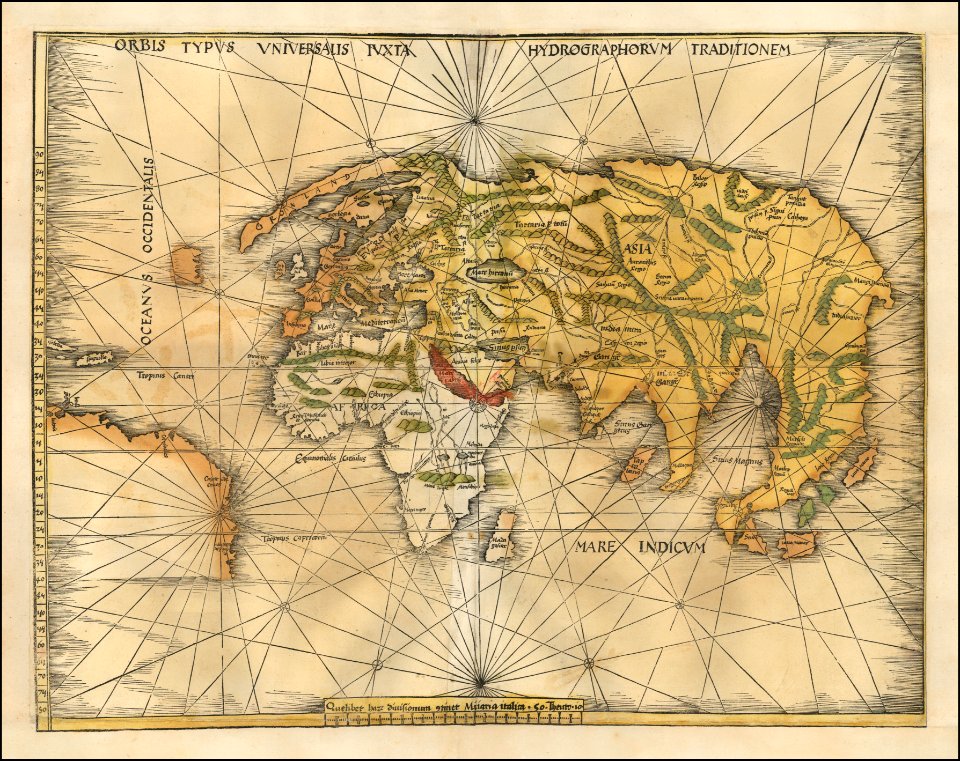
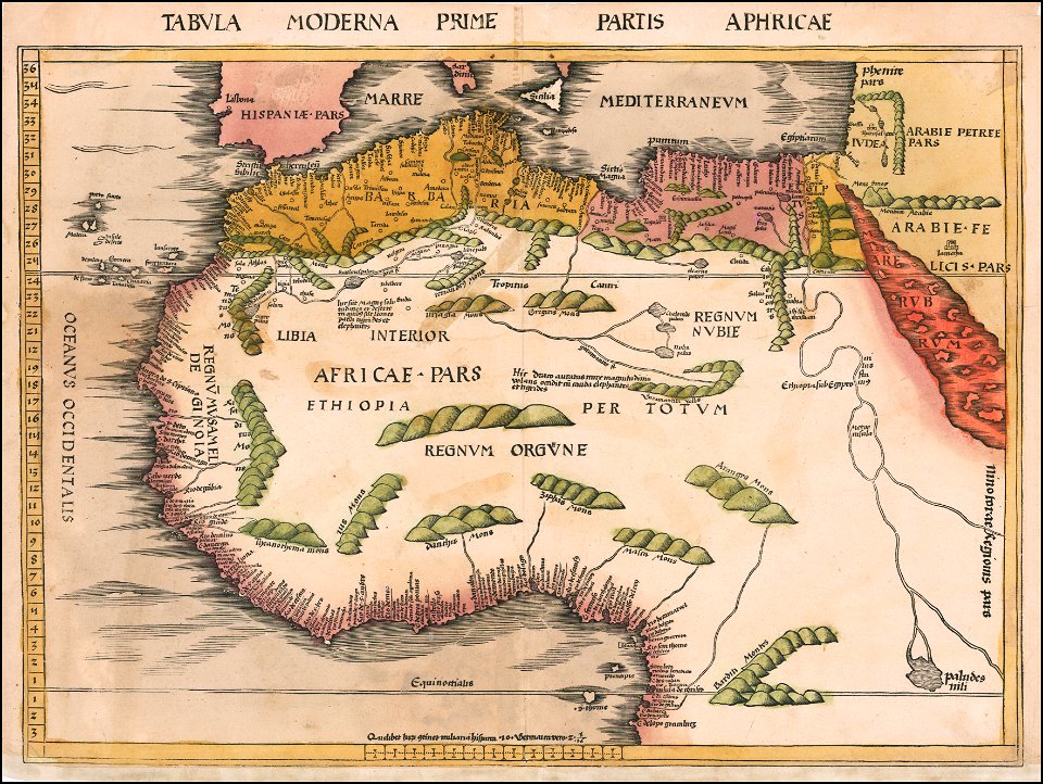
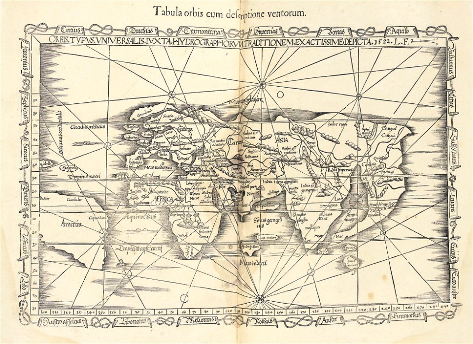
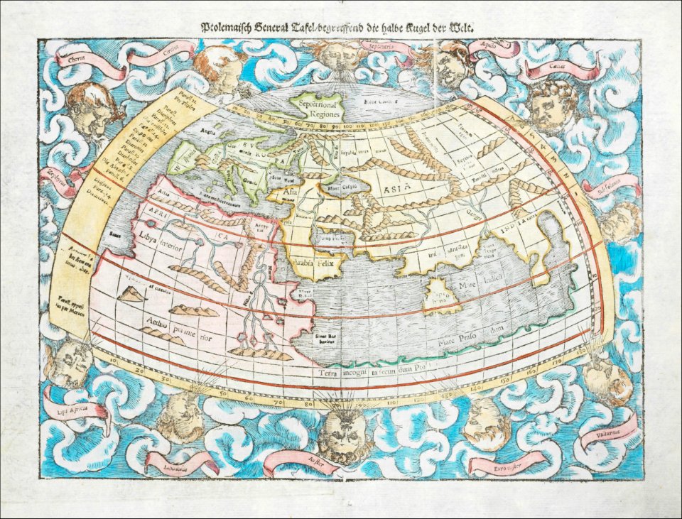
ptolemaic world maps
latin-language maps
old maps of jamaica
colonial cuba
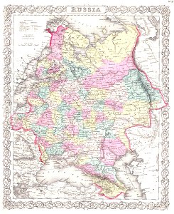
old maps of the russian empire
1855 maps
maps of native american tribal territories
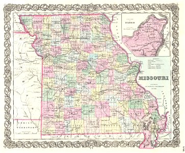
old maps of missouri
old maps of the middle east
1855 maps
maps of traditional counties of scotland
old maps of scotland
maps of the frankish territory
1892 maps
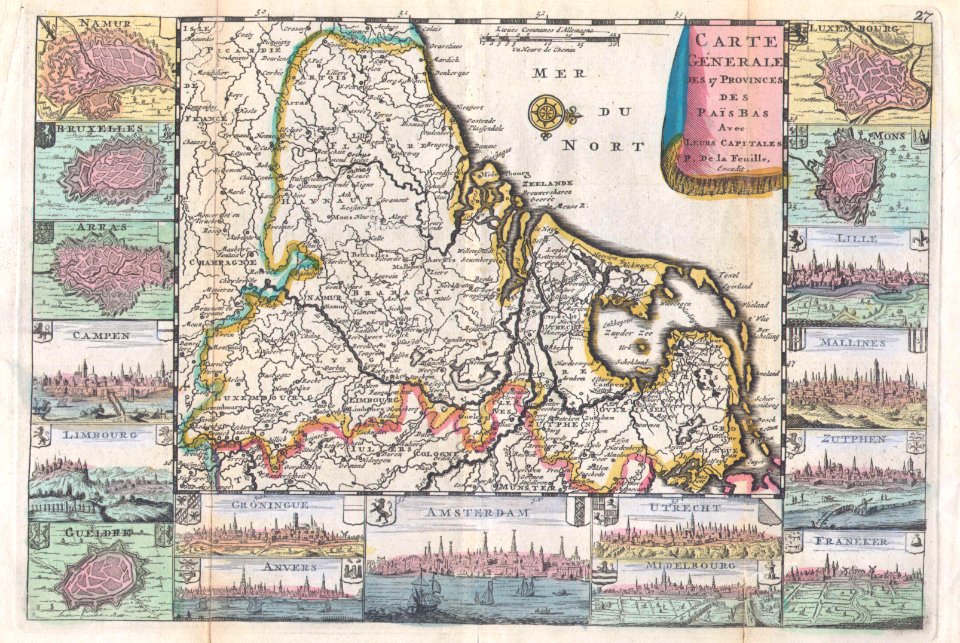
maps by willem and johannes blaeu
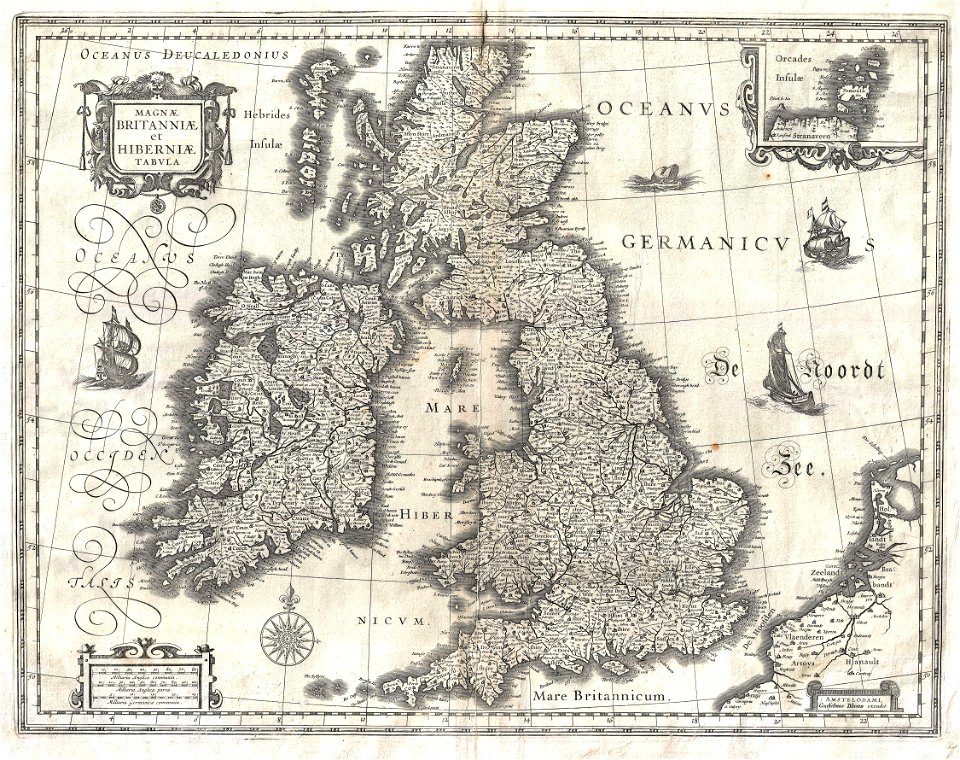
old maps of the british isles
18th-century maps of the black sea
maps by matthäus seutter
maps by sebastian münster
ptolemaic world maps
italian-language maps
1776 maps
old maps of china
old maps of asia
maps by john thomson
1814 maps
old maps of greece
1896 maps
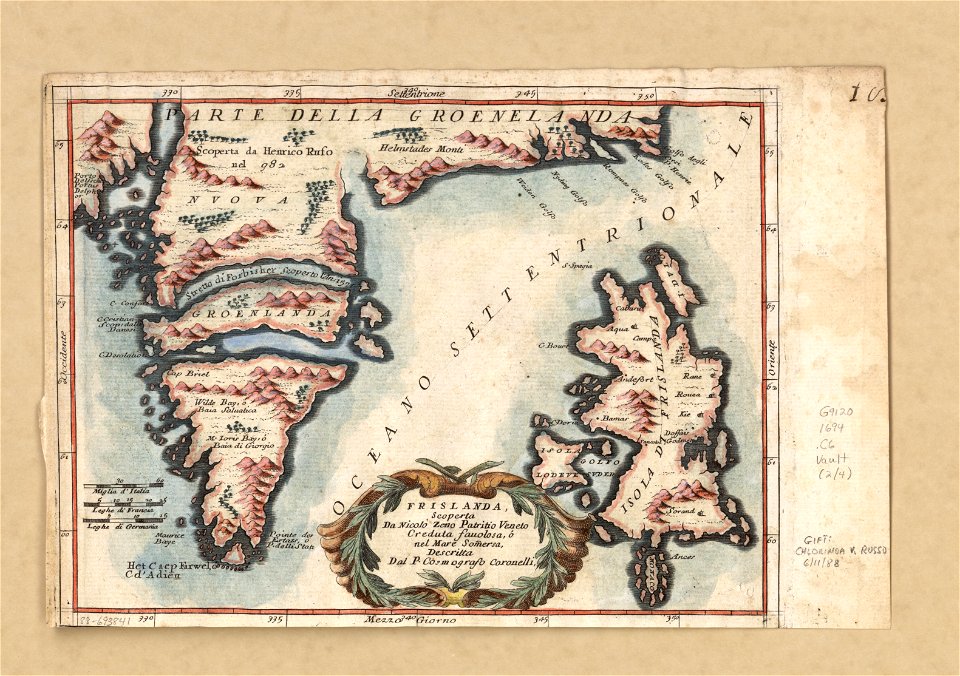
old maps of greenland
coats of arms on maps
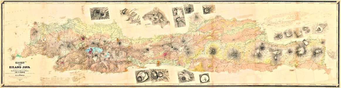
maps by franz wilhelm junghuhn
old maps of java
south dakota
iowa
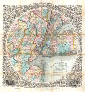
cartography of new york city
english-language maps
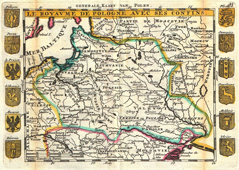
old maps of poland
johannes ratelband
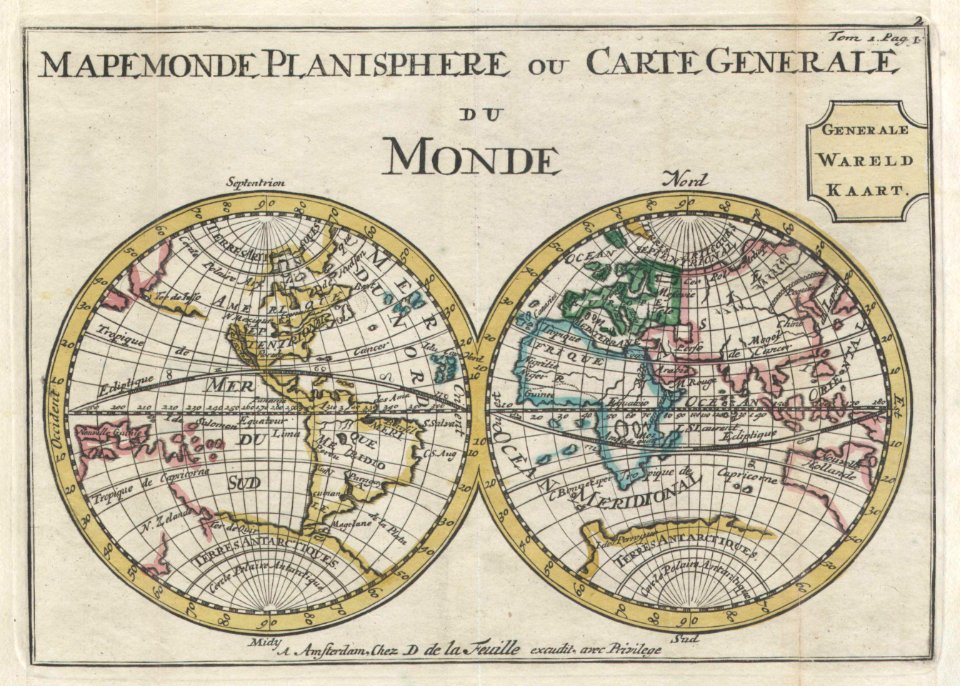
old maps of earth's hemispheres
double hemisphere world maps
french-language maps
1710 maps
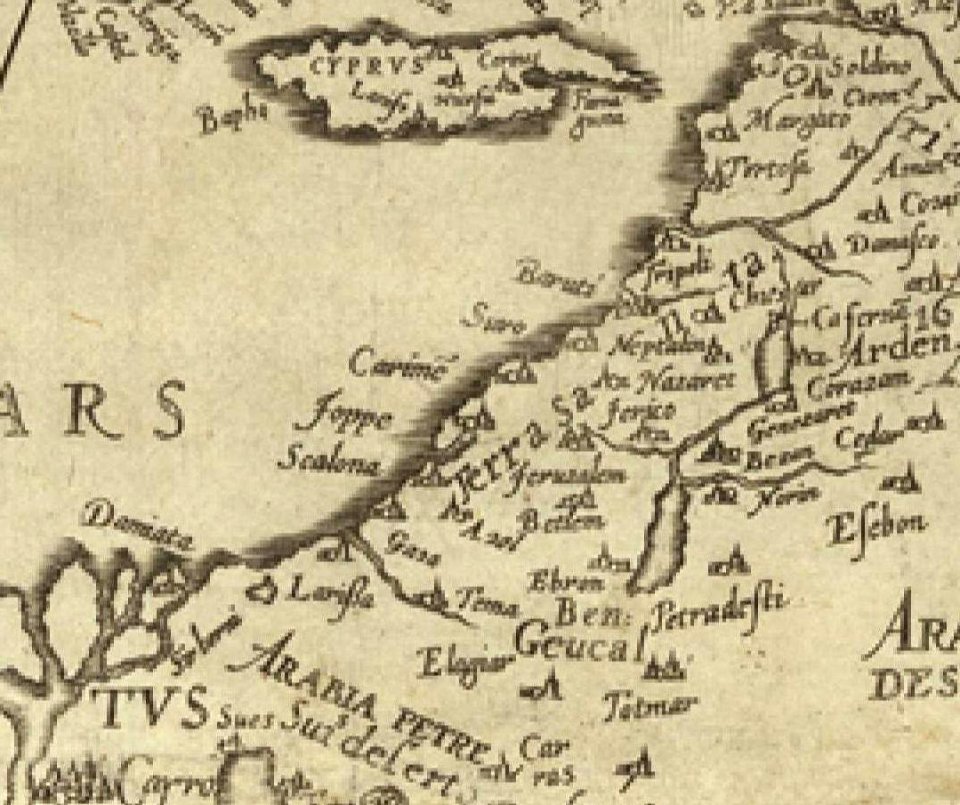
16th century maps of the middle east
1590 maps of israel
1590 maps of armenia
1590 maps of turkey
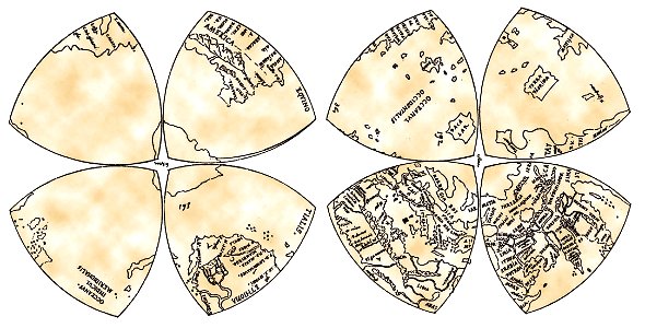
reuleaux triangles
world map
maps with cartouches
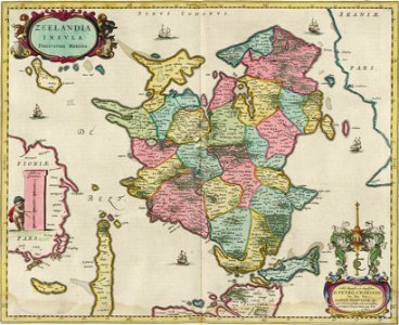
joan blaeu
old maps of suriname
old maps of guyana
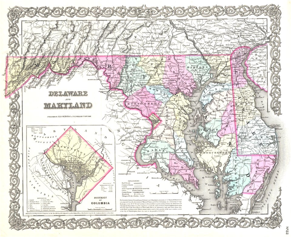
virginia
d.c.,
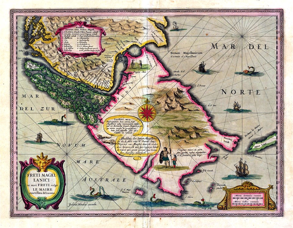
old maps of the falkland islands
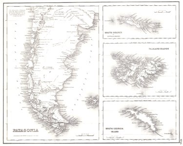
old maps of patagonia
17th-century maps of georgia
old maps of turkey
ships on maps
1628 maps
1101 - 1200 of 34,645
Next page
/ 347